- Tours
- Easy tour
- Medium tour
- Difficult tour
- |
- Download
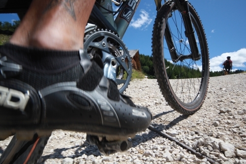
- Planning a tour
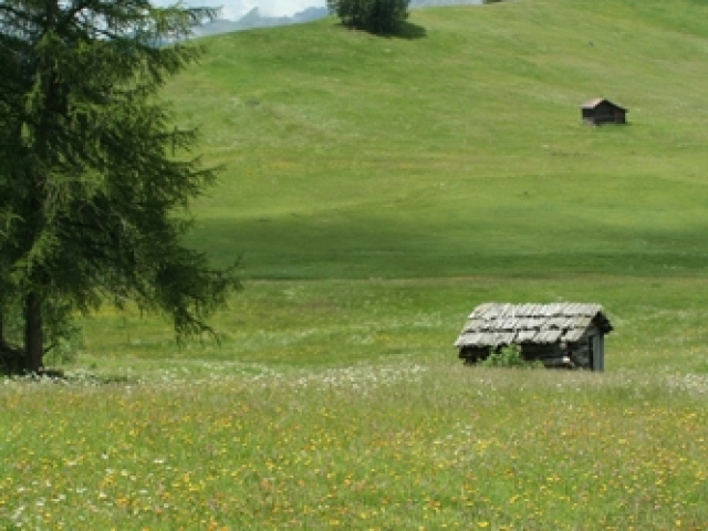
The Rit meadows
Difficulty:

Distance: 27.39 km - Altitude: 1145 m
Distance: --- - Altitude: ---
The line is movable with the mouse pointer - the exact location in the profile is indicated on the map.
Description
Tour of medium difficulty with demanding stretches before Ju de Rit and a great panorama downhill.
La Val - Ciampei - Costa - Preroman – S. Martino – Gran Ju – Ju de Rit - Picco della Croce/Crusc de Rit – Ciavaza - Tolpei - La Val
Asphalt, gravel road
Condition: ****
Uphill: ****
Downhill: ****
Time: circa 3h 30 min