- Tours
- Easy tour
- Medium tour
- Difficult tour
- |
- Download
- Planning a tour
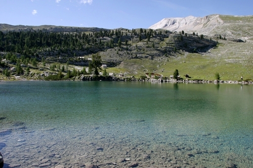
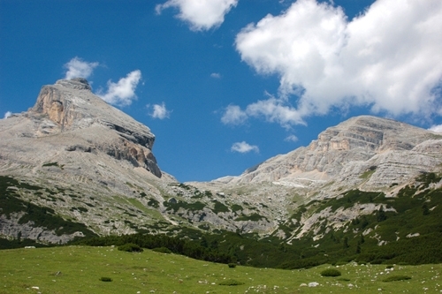
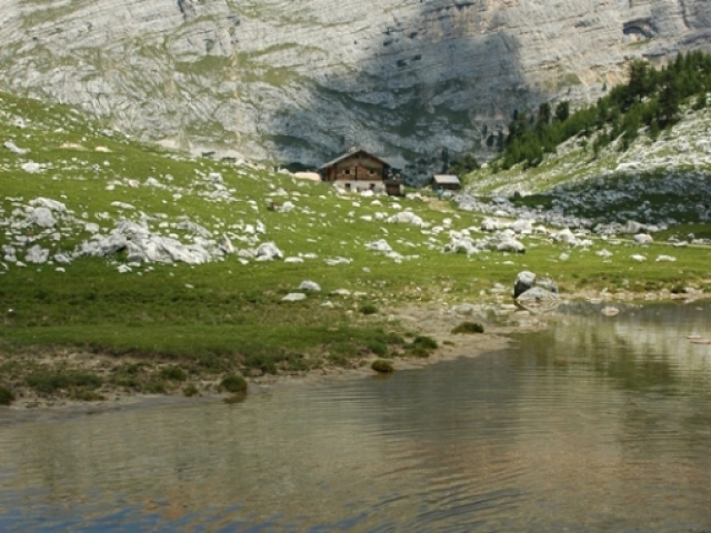
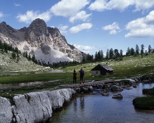
The Fanes mountain pasture
Difficulty:

Distance: 54.85 km - Altitude: 1785 m
Distance: --- - Altitude: ---
The line is movable with the mouse pointer - the exact location in the profile is indicated on the map.
Description
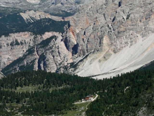
Difficult tour over the typical alp of Fanes.
La Val - Tolpei - Biei - San Vigilio - Tamers - Pederù - Yoke of Fanes - lake Limo - alp Fanes - downhill to San Cassiano - La Villa - Badia - Valgiarei - Furnacia - La Val
Asphalt, gravel road, trail
Condition: ****
Uphill: ****
Downhill: ****
Time: circa 5h 30 min