- Tours
- Easy tour
- Medium tour
- Difficult tour
- |
- Download
- Planning a tour
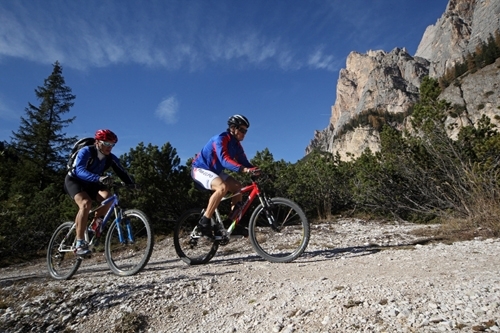
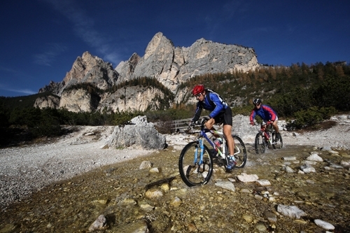
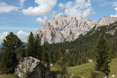
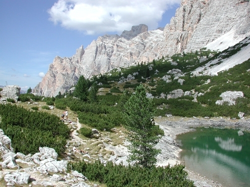
UNESCO Nature park Fanes-Sennes-Braies
Difficulty:

Distance: 52.11 km - Altitude: 3512 m
Distance: --- - Altitude: ---
The line is movable with the mouse pointer - the exact location in the profile is indicated on the map.
Description
Impressive tour on difficult paths and sophisticated downhills.
San Cassiano - Capanna Alpina - Col de Loćia - Malga Fanes - through the valley of Fanes - Malga Ra. Stua - Malga Sennes - Malga Fodara - Pederù - Fanes - Col de Loćia - San Cassiano
Asphalt, gravel road, trail
Condition: *****
Uphill: *****
Downhill: *****
Time: circa 6h