- Tours
- Easy tour
- Medium tour
- Difficult tour
- |
- Download
- Planning a tour
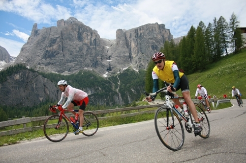
Sellaronda (Counterclockwise direction)
Difficulty:

Distance: 57.24 km - Altitude: 4106 m
Distance: --- - Altitude: ---
The line is movable with the mouse pointer - the exact location in the profile is indicated on the map.
Description
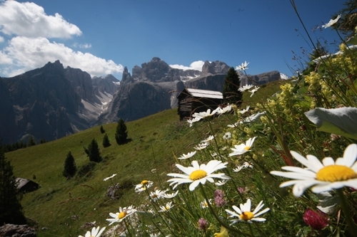
A very panoramic tour with impressiv view on the most beautiful peaks of the dolomites: Sella, Sassongher, Pelmo, Civetta, Marmolada, Sassolungo und Schiliar.
Corvara – Colfosco – Plans Frara – Passo Gardena – Selva Gardena – Mont de Pana – Passo Sella – Canazei – Belvedere – Col dei Rossi – Arabba – Passo Inzisa – Corvara.
Asphalt, gravel road, trail
Condition: **
Uphill: **
Downhill: ****
Time: circa 6h
Metres in altitude netto: 1689